Aerial Lidar
Our aerial lidar technology delivers unparalleled precision in data collection. Imagine having the power of precision, speed, and accuracy at your fingertips. We’re making cutting-edge technology and expertise accessible to all, transforming the way you approach mapping, surveying, and data collection
Lidar: Lidar (light detection and ranging) is essentially a mobile laser scanner which we attach to an aircraft or vehicle. It emits close to 2 million laser pulses per second which reflect off the ground and other surfaces.
Reflection and Return: Upon hitting a surface, the laser pulses bounce back towards the Lidar sensor. The time it takes for the laser pulses to return to the sensor is recorded. Our scanners analysis the full waveform of each returning pulse, allowing multiple targets per pulse to be collected. This is how Lidar “sees through” vegetation and water.
Data Collection: The Lidar system records the precise time it took for the laser pulses to return and the angle at which they were emitted. This information is used to calculate the distance from the sensor to the point on the surface where the laser pulse was reflected.
Point Cloud Generation: These distance measurements are collected over a large area, resulting in a dense set of 3D data points. These data points are referred to as a “point cloud.” Each point in the cloud represents a specific GPS coordinate location on the Earth’s surface and are accurate to within a few centimetres.
Data Processing: The point cloud data can be further processed to create digital elevation models (DEMs), digital terrain models (DTMs), or 3D representations of the landscape, objects, and features. These data products are valuable for various applications, including topographic mapping, land surveying, forestry management, urban planning, and infrastructure design.
Applications for Vadis Aerial Lidar
Our Aerial Lidar can be used for a number of applications.
- Infrastructure Modelling
- Change Detection
- Volumetric Surveys
- Carbon Stocks
- Disaster Management
- Land use Mapping and Planning
- Forestry
- Railway and Roads
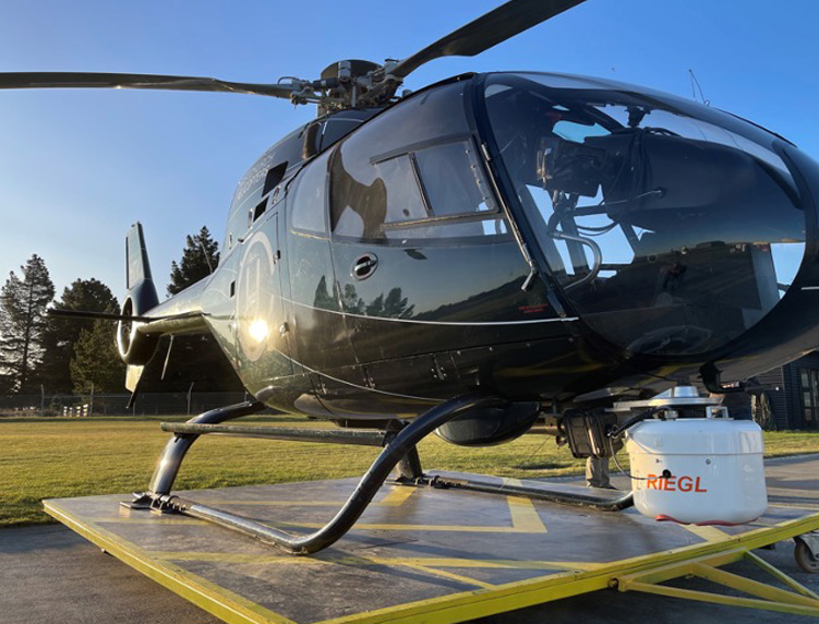
Our Equipment
We can capture both Aerial LiDAR Scanning (ALS) data and Mobile terrestrial Laser Scanning (MLS) to combine the efficiency of large-scale ALS data with the ultra-high precision and resolution of MLS data to produce totally comprehensive, survey-accurate digital twins. We also have a range of cutting-edge scanners and high-performance aircraft enabling us to provide the most cost-effective solution for specific data capture requirements.
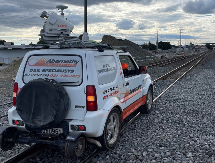
Riegl VUX-1LR
- Perfect for MLS or ALS
- 360° field of view
- 5-10mm precision
- 1,000,000 points/sec
- Capture while driving up to 100km/h
Riegl VUX-240 + PhaseOne Camera
-
ALS corridor mapping
-
Highly accurate
-
1,800,000 points/sec
-
Scan over 1000km of corridor per day
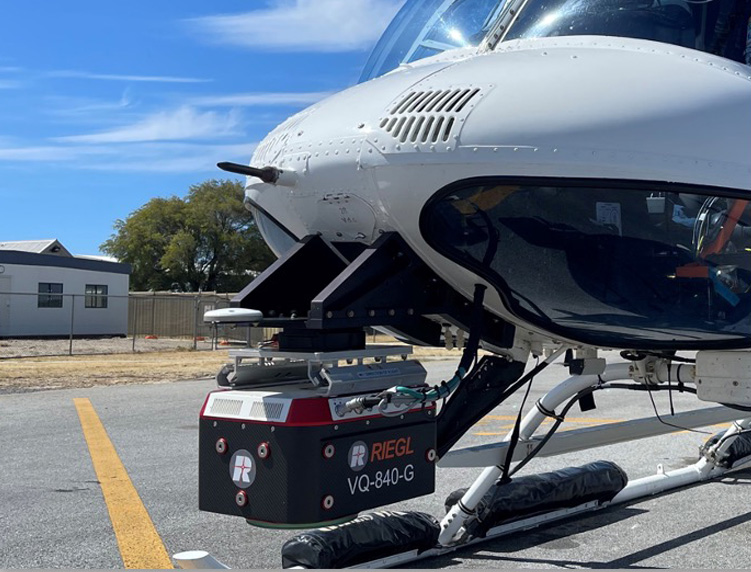
Riegl VQ-840-G
-
Bathymetric Lidar
-
Eye-safe green laser
-
Penetrate 2-2.5 Secchi depths of water
-
Riverbeds, pond depths, hydraulic engineering
Why use Aerial Lidar?

Unmatched Precision

Rapid Data Acquisition

Comprehensive Coverage

Data-driven Decision Making

Cost Effective Solutions

Environmental and Safety Advantages
Find out more
Find out more about our range of Aerial Lidar services that could benefit your next project.