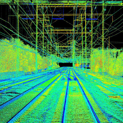
AERIAL IMAGERY
We provide you with a bird’s-eye view that can change the way you see your world. Aerial imagery isn’t just pictures from above; it’s the key to unlocking valuable insights for your project. Let’s dive into how our services can transform the way you visualise, analyse, and make informed decisions
Mapping and Cartography: Aerial imagery is used to create maps, charts, and geographic information systems (GIS) data. It helps in accurately depicting the landscape, roads, buildings, and other features for navigation and urban planning.
Environmental Monitoring: Aerial imagery is valuable for tracking changes in natural landscapes, such as forests, wetlands, and coastlines, and monitoring environmental factors like deforestation, land use changes, and wildlife habitats.
Disaster Response: During natural disasters like hurricanes, floods, and wildfires, aerial imagery is used for damage assessment, search and rescue operations, and planning relief efforts.
Agriculture & Forestry: Aerial imagery aids in crop monitoring, precision agriculture, and assessing the health of vegetation. Farmers and forestry managers use it to optimise their practices and increase crop yields.
Real Estate and Property Assessment: Aerial imagery is used in real estate for property assessment, site selection, and marketing. It provides an overview of properties and surrounding neighbourhoods.
Infrastructure Planning: Engineers and urban planners use aerial imagery for designing and assessing infrastructure projects like roads, bridges, and utility networks.
Surveillance and Security: Aerial imagery is used for surveillance and security applications, such as monitoring large events, border security, and identifying potential security threats.
Applications for Vadis Aerial Imagery
- Crop Monitoring
- Precision Agriculture
- Infrastructure Development
- Deforestation detection
- Environmental impact assessments
- Power line inspection
- Pipeline monitoring
- Damage assessment
- Emergency response planning
- Topographic mapping
- Geospatial mapping
- Network planning and optimization
- Rail and highway planning
Why use Aerial Imagery?

Unrivalled Perspective

Rapid Data Collection

High-Resolution Clarity
Our aerial imagery is all about precision. We deliver high-resolution images that allow you to zoom in on the finest details, whether it’s for land use planning, construction site monitoring, or real estate assessments. The clarity of our images ensures you have a clear understanding of your area of interest.

Comprehensive Coverage

Data-Driven Decision Making

Cost Effective Solutions
Find out more
Find out more about our range of Aerial Lidar services that could benefit your next project.

