About Vadis
Vadis Geomatics, a subsidiary of Christchurch Helicopters, represent a premier team of geospatial professionals, land surveyors, landscape scientists, and aviation experts. We also enjoy strategic partnerships with the likes of the University of Canterbury and NIWA, enabling almost limitless capabilities
What We Do
- High-resolution, high-accuracy 3D survey data for feature extraction and 4D analysis
- 3D visualisation to easily understand environments
- High accuracy, easy to interpret deliverables to make the most out of your data without needing advanced skills
- Inform better decisions and better outcomes, mitigate hazards, create safer and more reliable infrastructure.
Why Vadis?
- High-density Aerial LiDAR
- Greater flexibility over fixed-wings and drones
- Class-leading ground detection
- Carbon Stock Estimates
- Yield Calculations
- Accurate Stem Counts
- Canopy Height Models
Why use us?
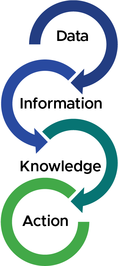
We use cutting-edge remote sensing tools to measure, visualise, interpret, understand, and communicate changes in our physical environment at dense spatial and temporal resolutions, even the most challenging locations. Here are just a few of the benefits:

Accuracy

Efficiency
Safety
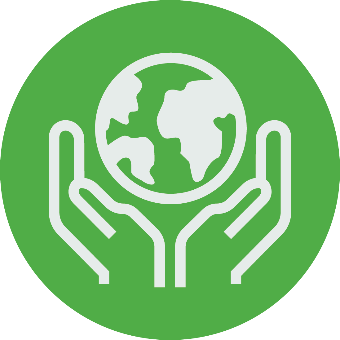
Environmental Impact
We can minimize the need for traditional ground-based surveying, helping to reduce the disturbance of natural environments.
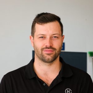
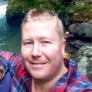
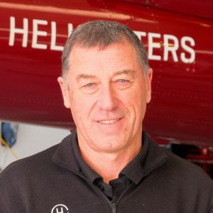
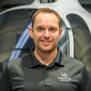
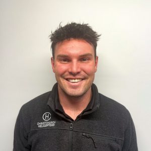
Our Team

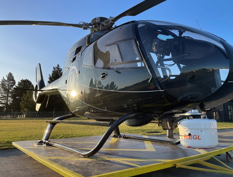
Our Equipment
We can capture both Aerial LiDAR Scanning (ALS) data and Mobile terrestrial Laser Scanning (MLS) to combine the efficiency of large-scale ALS data with the ultra-high precision and resolution of MLS data to produce totally comprehensive, survey-accurate digital twins. We also have a range of cutting-edge scanners and high-performance aircraft enabling us to provide the most cost-effective solution for specific data capture requirements.
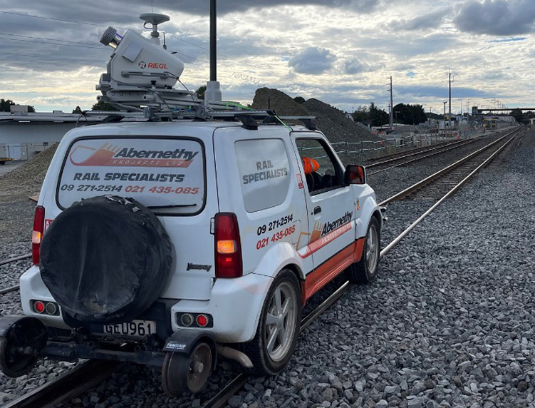
Riegl VUX-1LR
- Perfect for MLS or ALS
- 360° field of view
- 5-10mm precision
- 1,000,000 points/sec
- Capture while driving up to 100km/h
Riegl VUX-240 + PhaseOne Camera
-
ALS corridor mapping
-
Highly accurate
-
1,800,000 points/sec
-
Scan over 1000km of corridor per day
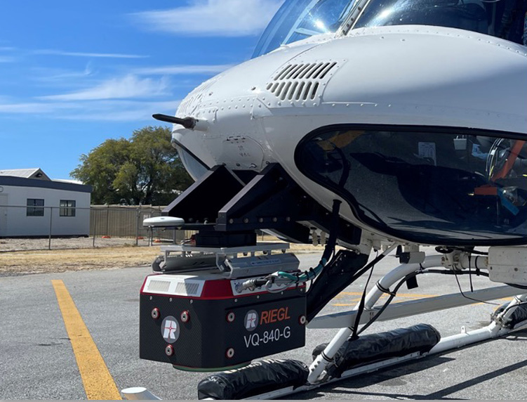
Riegl VQ-840-G
-
Bathymetric Lidar
-
Eye-safe green laser
-
Penetrate 2-2.5 Secchi depths of water
-
Riverbeds, pond depths, hydraulic engineering
Find out more
Find out more about our range of Aerial Lidar services that could benefit your next project.
