Airborne LiDAR capture for complex terrain, water, and infrastructure.
High-density data delivered by experienced aviation and geospatial teams.
New Zealand Owned & Operated
Helicopter-based LiDAR capture
RIEGL sensor suite including bathymetry
Trusted by councils, utilities, and engineers
What we help with
Airborne LiDAR for Terrain & Infrastructure
Precision airborne scanning to capture high-density terrain and feature data across large or difficult-to-access areas, supporting mapping, modelling, and project design.
High-Resolution Aerial Imagery
High-resolution aerial photos that add contextual detail to spatial datasets, aiding planning, asset inspection, and visual communication.
Shallow Water & River Bathymetry
Shallow water and riverbed depth mapping with LiDAR to inform coastal, riverine, and hydraulic studies where traditional surveying is limited.
Infrastructure Corridor Mapping
Detailed topographic capture along transport, utility, and linear infrastructure corridors to support design, clearance analysis, and maintenance planning.
Hazard, Emergency & Rapid Response Mapping
Rapid geospatial data capture and analysis to assess hazards, support response planning, and quantify landscape change after events.
Change Detection & Monitoring
Compare LiDAR datasets over time to quantify landscape or asset change, supporting condition monitoring and long-term planning.
Volumes, Vegetation & Carbon Metrics
Three-dimensional volume estimates and vegetation metrics for engineering, resource management, and carbon accounting projects.
Applied LiDAR Research & Innovation
Collaborative and applied research projects that push forward the use of LiDAR and allied geospatial techniques in practical decision support.
Where we do it
Agriculture & Forestry
Utilities
Rail & Road
Rivers & Coastlines
About Vadis
Vadis is a New Zealand based company specialising in the capture, processing, and analysis of Lidar and photogrammetric data. A strategic partnership between Christchurch Helicopters and The University of Canterbury, Vadis represents an expert team of geospatial professionals, land surveyors, landscape geomorphologists, and hydrographic modellers. We measure, visualise, interpret, understand, and communicate changes in our physical environment at dense spatial and temporal resolutions allowing you to make better informed decisions.
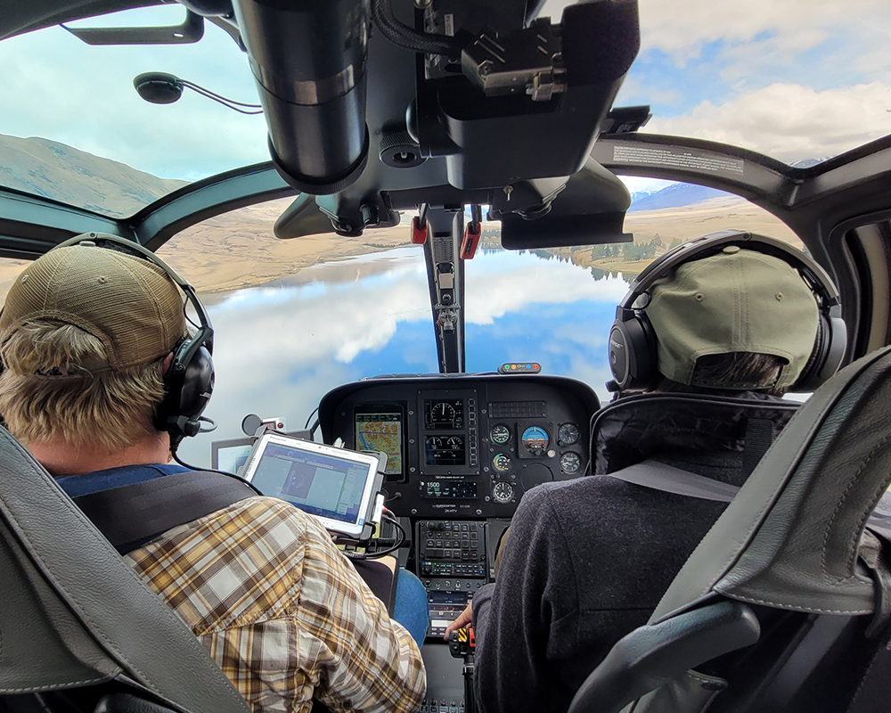
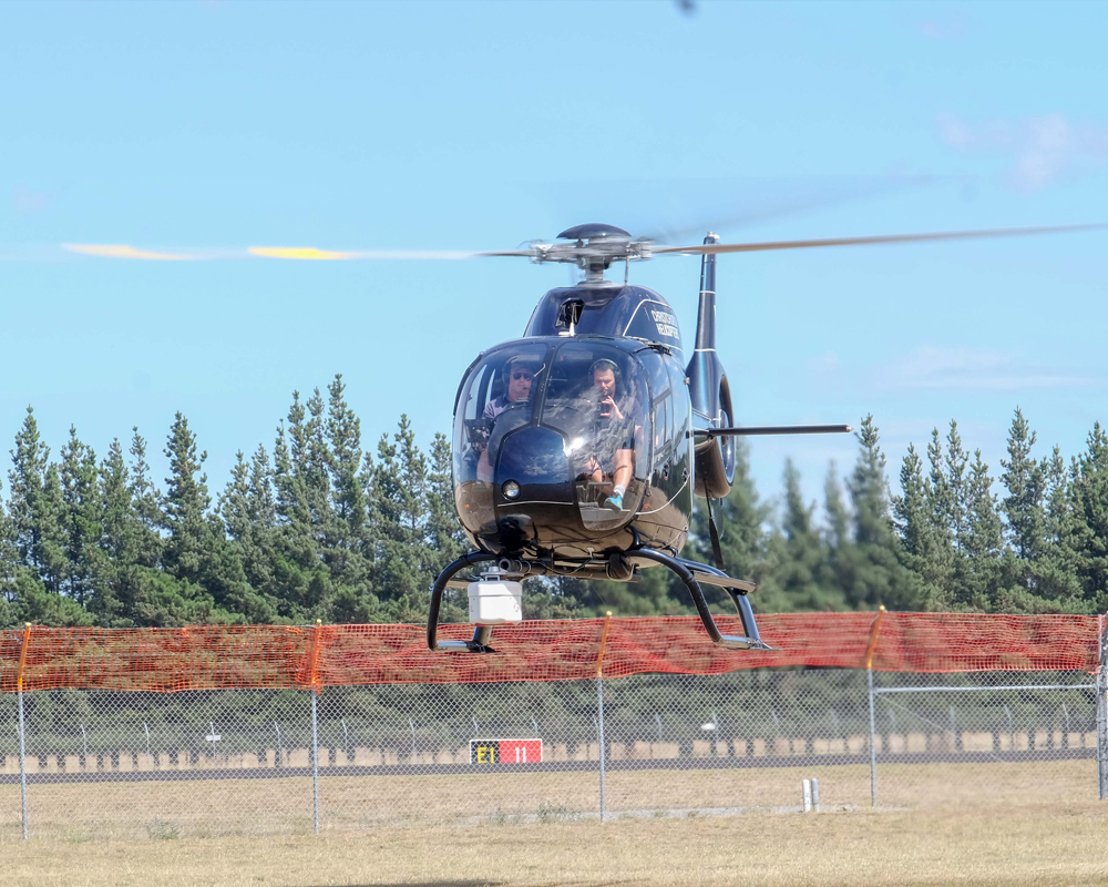
Scanner Equipment
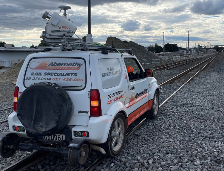
Riegl VUX-1LR
- Perfect for MLS or ALS
- 360° field of view
- 5-10mm precision
- 1,000,000 points/sec
- Capture while driving up to 100km/h
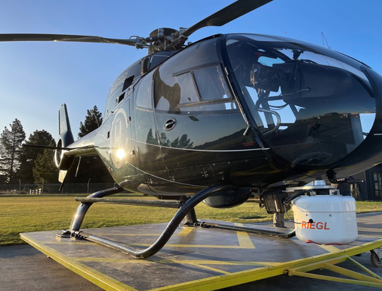
Riegl VUX-240 + PhaseOne Camera
- ALS corridor mapping
- Highly accurate
- 1,800,000 points/sec
- Scan over 1000km of corridor per day
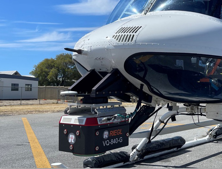
Riegl VQ-840-G
- Bathymetric LiDAR
- Eye-safe green laser
- Penetrate 2-2.5 Secchi depths of water
- Riverbeds, pond depths, hydraulic engineering
Our Team
Partners & Clients

